I recently wrote up details of my wardriving rig and provided instructions on how to build your own. In this blog I'm going to go through the results of my own wardriving efforts and the data I collected.
The setup
You can check out my previous blog, WiFi Wardriving++, for details on how to setup your own wardriving rig. I created a mobile version for testing purposes and it looked like this.
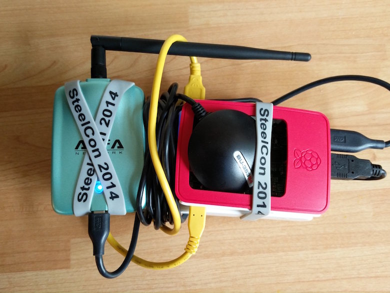
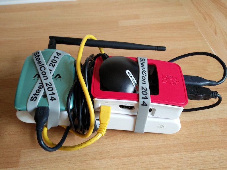
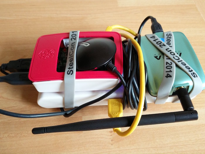
This was great for taking out when walking around but if you want some serious coverage and, well, you're a bit lazy like I am, the best way is to fit this to a car. This means you can power if from a more reliable power source than a battery pack like the 12v power feed from a USB socket or cigarette lighter. You can also mount the aerials slightly higher up like on the roof of the vehicle and lastly, but probably most importantly, you can go a lot faster in a car!
I was using my MacBook to hook up to the Pi in the car and keep track of everything.
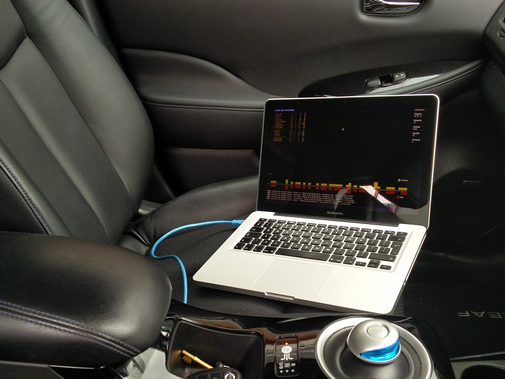
The Pi was mounted on the window with power and Ethernet so the USB cables for the antennas would reach their location on the roof.

Then I had the cables run out the window to the WiFi and GPS antenna on the roof.
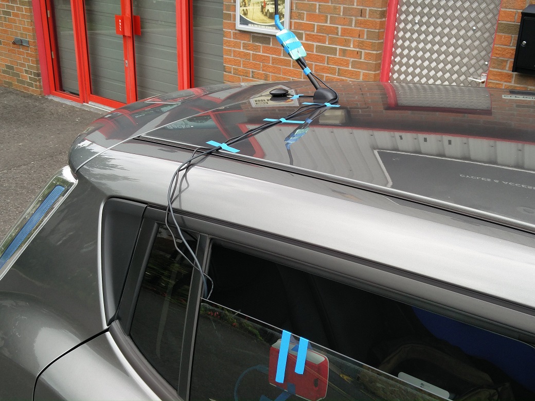
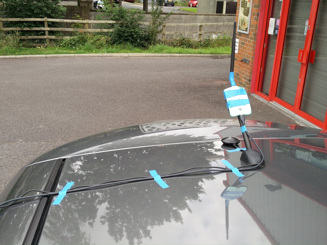
Now that everything was setup and tested, all that was left to do was fire it up and go for a drive.
The results
With the ability to drive at speed, collecting a large amount of data was easy. In total I gathered information on 10,442 different access points.
| Security | Count |
|---|---|
| WPA | 8,174 |
| WEP | 85 |
| None | 2,183 |
| Total | 10,442 |
This represents quite a considerable increase in the total number of WiFi networks in the same geographic area. It is good to note though that the data shows all of the networks being added support WPA/WPA2 security and the number of both open and WEP protected networks has decreased!
The maps
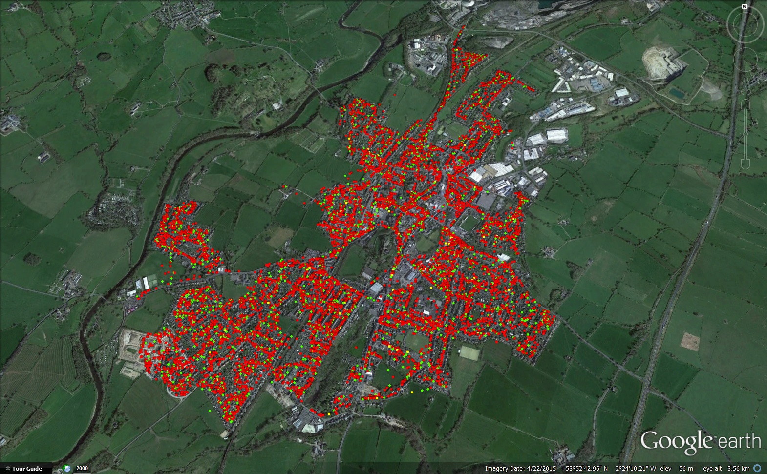
One of the other awesome things that you can do with the data from Kismet is run it through the netxml2kml script and convert it into a format that you can upload to Google. I had too much data to upload to Google Maps so I had to use a Fusion Table instead. The process is documented in my other blog so check it out there. Here are the resulting maps for the 2016 data and the 2013 data for comparison.
2016 Data:
2013 Data:
Once you have the KML file you can also import it to Google Earth which is a free download if you don't have it. This means you can literally fly around the area that you covered in your wardriving and look at the data in 3D.
Uploading to wigle.net
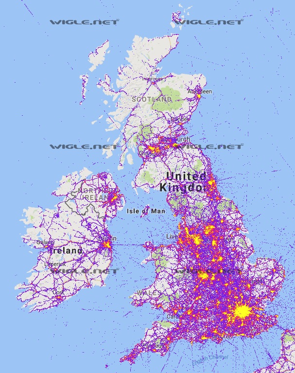
If you haven't had a look at Wigle then you really should. It's basically what I've just done here except on a global scale. You can literally see WiFi access points all over the world. The data is contributed by people that run the Wigle app on their Android device or upload their own data from wardriving rigs like mine. Have a look around your neighbourhood and see if your WiFi network is on there.
You can check for WiFi anywhere in the world.
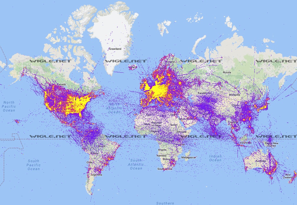
Or your country.
Or your town/city.
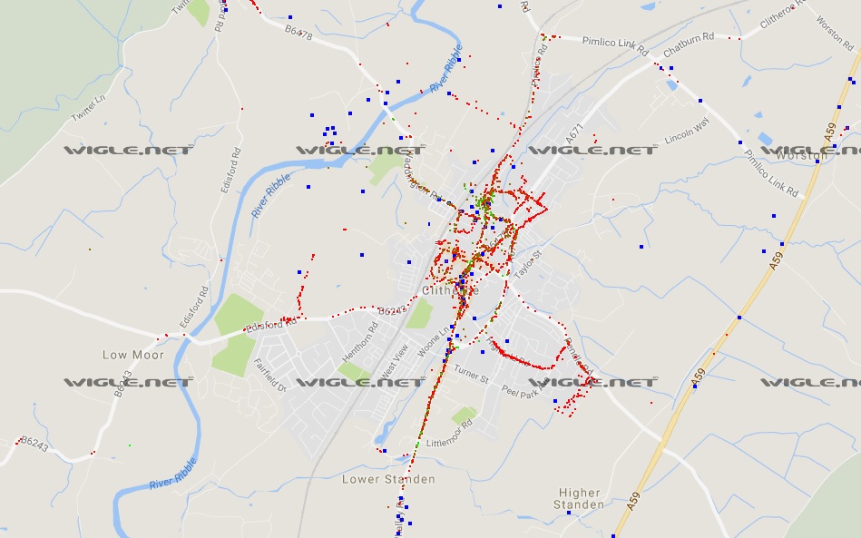
I then uploaded all of my new data to Wigle to update the map.
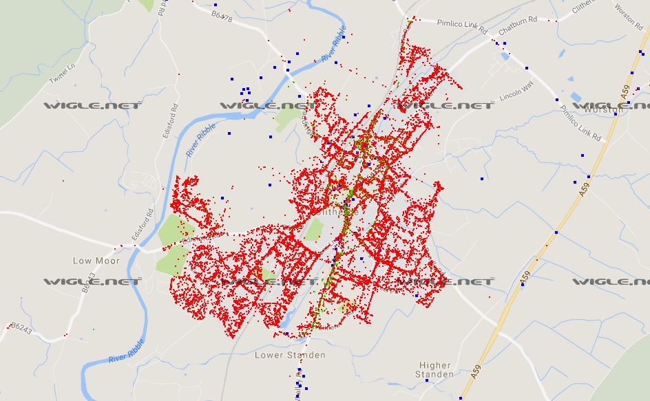
Why?
In this particular scenario I intend to use the data I've collected for a future research project I have in mind. Other than that it can be a pretty cool project if you're interested in the hardware required to make it work, the specific software involved or WiFi in general. It's also nice to be able to lookup open WiFi networks nearby should you ever need one or those with weak WEP protection should you need them ;-)
Download the raw data as KMZ and open it in Google Earth: https://scotthel.me/wfd
